Digitization of railways
Be onsite, from wherever you may be.
This service is able to display the sections of railway directly on a computer or other internet-connected device without the need to install any software or hardware. Be onsite, from wherever you may be.
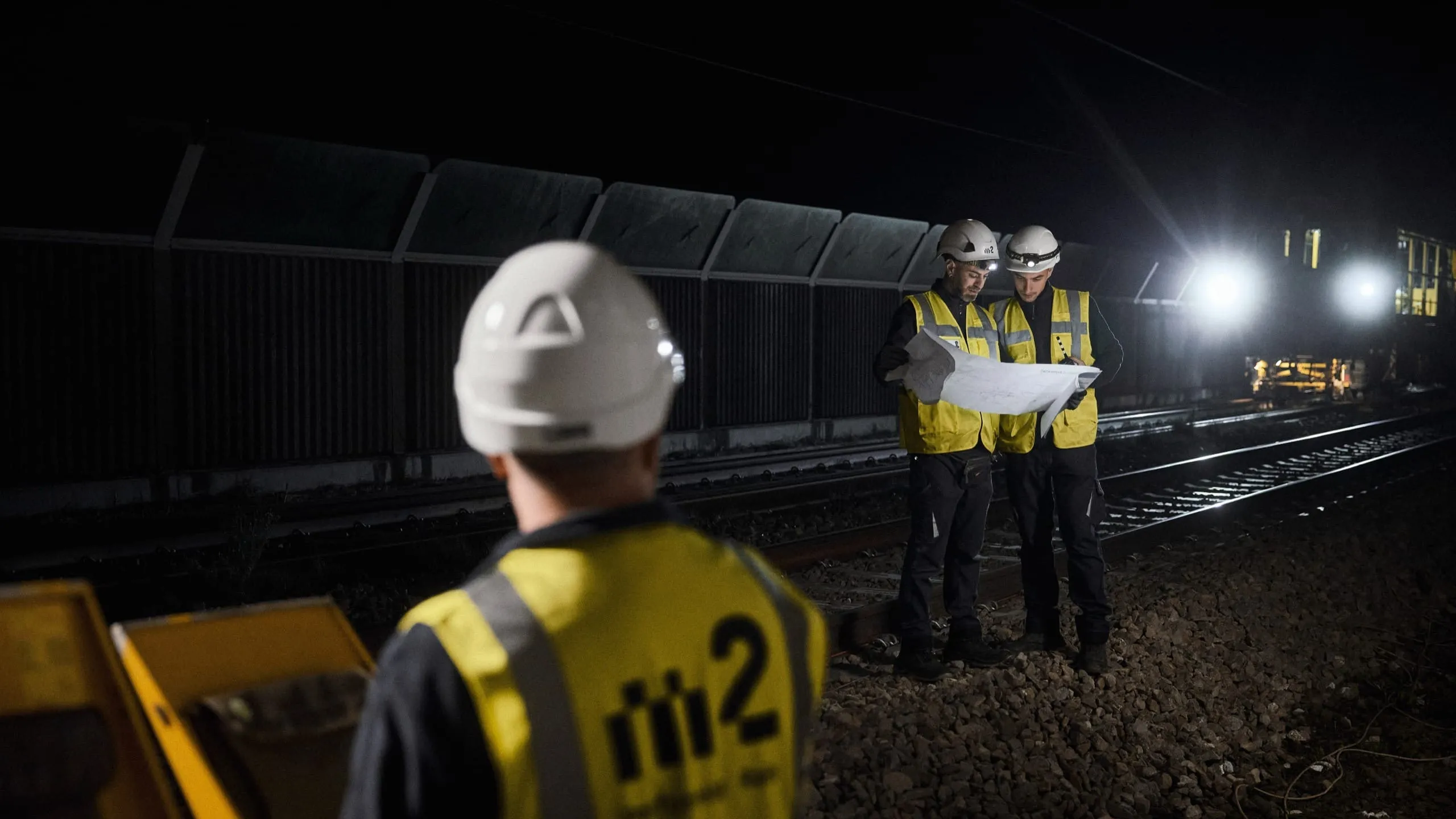
The Digirail service arose from the idea of having a tool to facilitate the planning stages of operations on any railway line. In working with safety systems along train tracks, m2 railgroup must always find the various points of access to mount the systems. It often happens that, upon reaching a worksite, workers are faced with blocked entrances, walls to climb over and downhill stretches to deal with due to the sites always being quite extensive. From here comes the need to access the office computer during planning phases and have the ability to:
- View a railway line on any device with internet access, without having to complete onsite inspections
- Display high-quality images
- Avail of a zoom function to detect objects along the line or mileage, for example
- Interact with the images, taking measurements, defining objects underway, selecting coordinates and more
- Have maps in 3D and 2D
- Navigate between images in a user-friendly manner